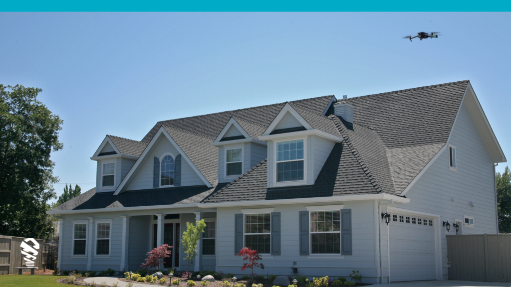
When it comes to solar photovoltaic (PV) array design, there are two main ways to collect the data needed: a site survey or remote imagery. Using the old school method of aerial imagery for site surveys is like assembling Ikea furniture without the instructions – you think it will be quick, but you’ll pay the price later. Here’s why: Drone surveys deliver precision that ground-based efforts can’t touch. Drones capture high-def, actionable intel that traditional methods simply miss. While aerial imagery picks up many obstructions, it’s miss rate is high enough to cost you important operating dollars. We are not talking about fancy technology and nice-to-haves, we are talking about the bottom line. With traditional remote imagery, you’re playing roulette with a 30% chance of costly redesigns each time. Drones flip those odds in your favor, making them not just smarter, but financially indispensable. Not only will you never miss an obstruction, we even include their measurements in our CAD models. So let’s dig in why it’s time to upgrade your approach, not because drones are the future, but because they’re the now.
Inspection and Documentation
Sophisticated solar installers know they are opening themselves to potential claims of property damage during the installation process. That’s why they prefer drone site surveys that document the state of the property before anyone ever climbs the roof. It’s also why we offer AI-powered damage detection as part of our solar drone survey solution. Avoiding damage claims down the road doesn’t just help you sleep well at night, it’s good for your bottom line.
Comprehensive Data Accuracy
One of the most important factors to consider when designing a solar PV array is data accuracy. And when it comes to data accuracy, nothing beats a site survey. That’s because, with a site survey, you’re able to collect data directly from the ground where the solar PV array will be installed. Yes, from the ground in addition to a drone survey from the air. You can record and measure future panel placement for batter storage, look into the attic, and attain a level of detail far superior to any remote data source.
Cost Efficiency by Cutting Redesigns
While initially more costly in terms of time and money, drone site surveys ultimately prove to be the more cost-effective choice for solar PV array design. This is primarily because a single, brief drone survey efficiently gathers all the necessary data in one go. In contrast, the inherent limitations of remote imagery often lead to a high redesign rate—30% to 50% of projects might need costly adjustments with each potentially costing hundreds to thousands of dollars. This makes the upfront investment in drone technology a no brainer as it can significantly reduce long-term expenses by eliminating frequent and expensive redesigns.
Higher Resolution Images for Accurate Designs
One of the most important factors in a site survey is the quality of the images. By leveraging drones equipped with high-resolution cameras, you can get a more detailed view of the site than you would with public satellite imagery. This is especially important when trying to answer potential design or shading issues. For example, relying on the accuracy of a CAD model from a drone site survey you can measure setback distances to comply with fire codes while this precision isn’t possible with satellite imagery.
Conclusion
A drone site survey is simply a better option than remote imagery for solar PV array design—it leads to more accurate data collection and is more cost-efficient in the long run. In an era where net metering is dropping but installs continue to grow, cutting change orders is the low hanging fruit to a higher profitable business. If you’re ready to get started on your own solar PV array design project, contact us today for more information about IMGING.


