AI and Drone Inspection Software for Your Business
IMGING Flight drone roof inspection software makes dangerous, time-consuming manual roof inspections a thing of the past. Whether you’re in the contracting, solar install and surveying, or insurance field, our cutting-edge aerial inspection solution simplifies property inspections and provides rock-solid measurements. IMGING Flight empowers you to redefine the way you inspect properties, saving time and boosting precision.
- Roofers
- Solar Installers
- Claim Adjusters
Integrated Efficiency with State of the Art Hardware
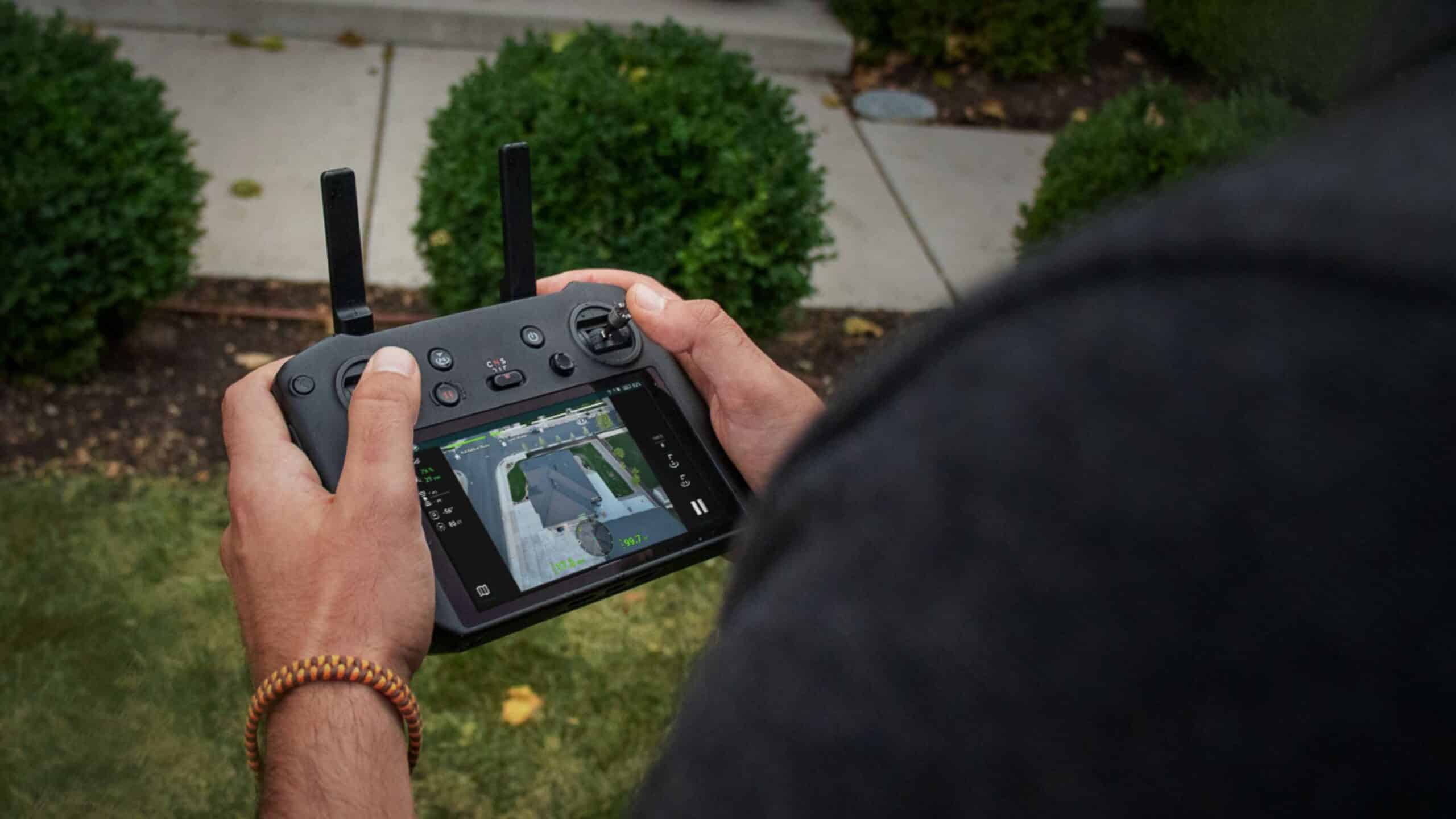
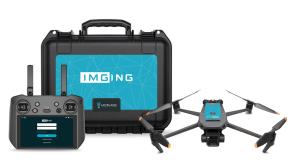
IMGING Flight seamlessly integrates with RC Pro, enhancing user experience and efficiency through simplified operations in the field.
Thermal Drone Inspection
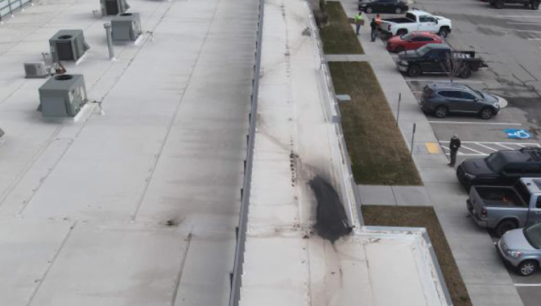
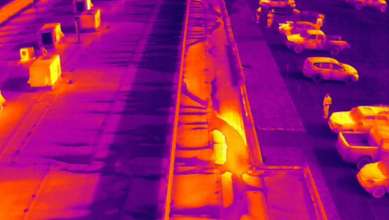
IMGING Flight supports the DJI M3T, utilizing automated flight paths to capture high-resolution thermal images.
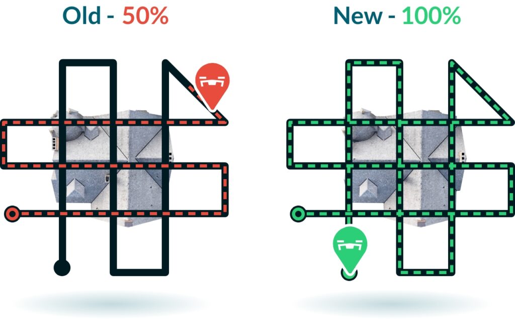
Faster Flights
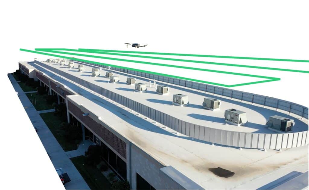
IMGING Flight gives you the same industry-leading drone roof data in almost half the time. Get more flights per charge and power up your drone roof inspections.
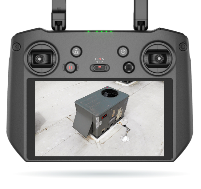
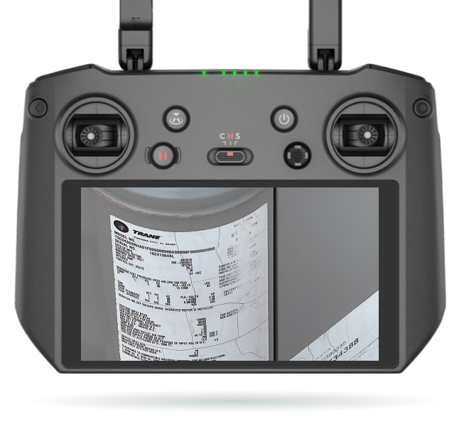
Zoom for Precision
Zoom ability in the Mavic 3 Enterprise provides close-up views without needing to fly close, empowering inspectors to identify issues with exceptional clarity faster.
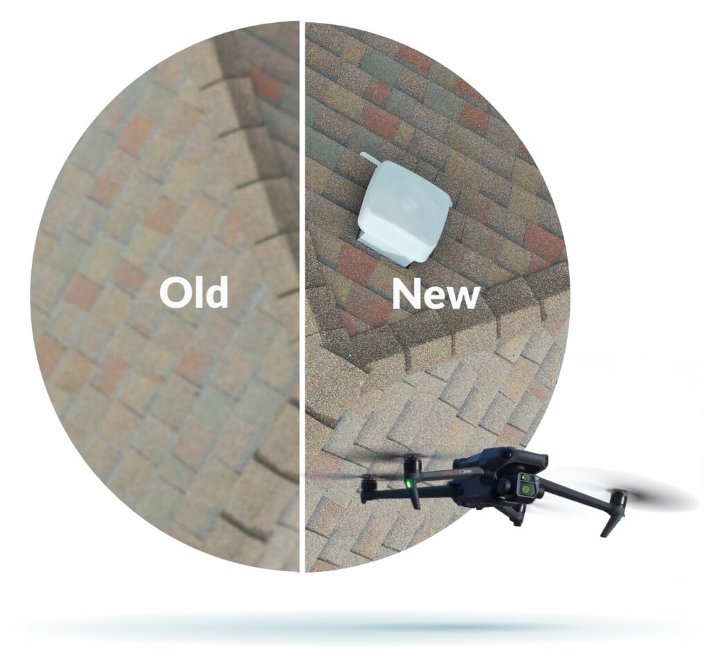
Sharper Image Capture
Larger sensors and a mechanical shutter (Mavic 3 Enterprise Only) ensure crystal-clear photos during high-speed flights, enabling precision drone and AI analysis of the roof’s condition in record time.
Push Button Simple
Streamline drone roof inspections with automated flight, simplifying operations, boosting productivity, and lowering the learning curve.
Revolutionary Outputs
Get full drone roof measurements with to-the-nail-accuracy. Then use our 3D models to measure anything on the property – from siding to skylights.
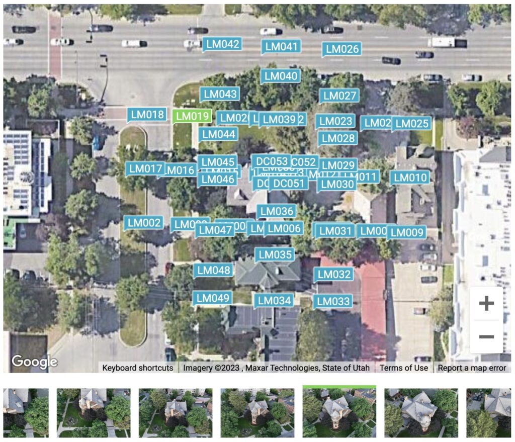
Smart Photo Location
IMGING’s smart photo location allows you to view the exact coordinates where each photo was taken. No more guesswork or manual record-keeping. Explore a map-based interface that brings your property data to life, offering a new level of clarity and accuracy.
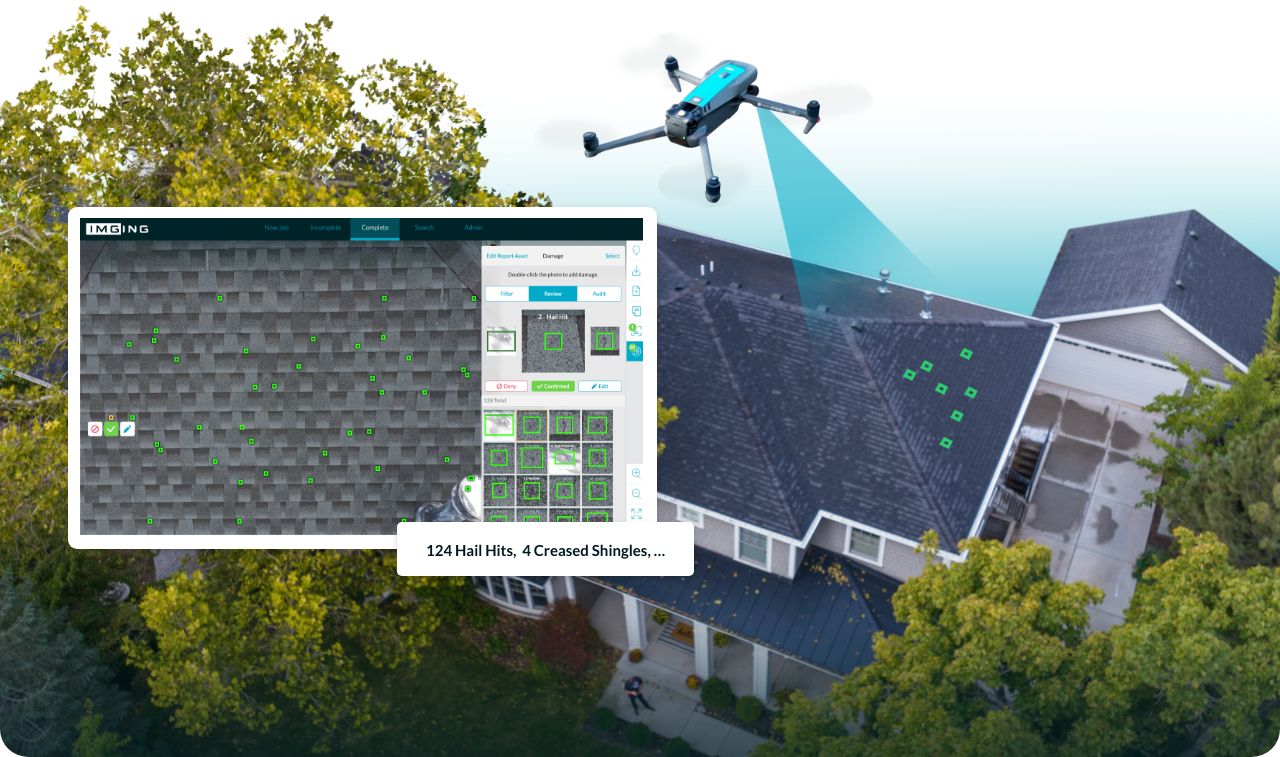
AI-Powered Damage Detection
Leverage AI-Driven precision to swiftly identify roof damage across all types of materials. Flight helps you reduce inspection time by highlighting damaged areas to review.
Solar Drone Scan
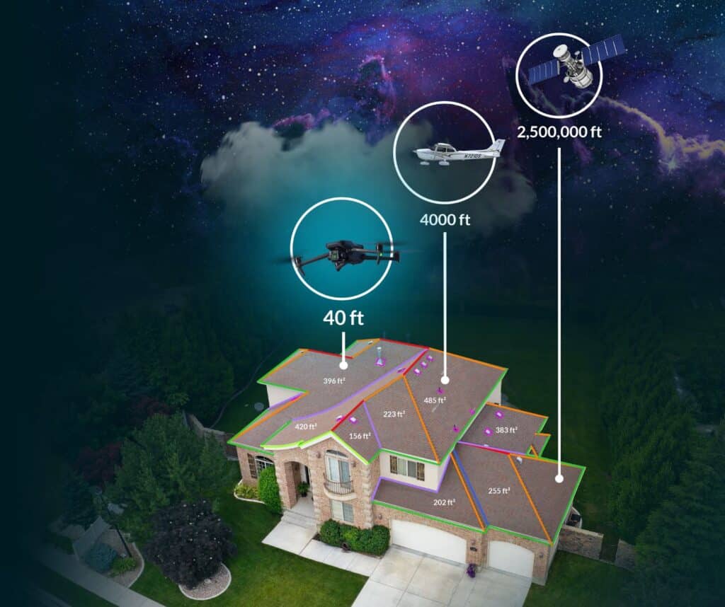
With IMGING’s Solar Scan, drone roof surveys for solar design have never been easier. Never redesign or add a truck roll again. Site surveys from a drone provide precise measurements – more accurate than from a satellite or plane – for near-real-time data on every aspect of the roof. When they’re done, system designers have a CAD file with half their work already finished.
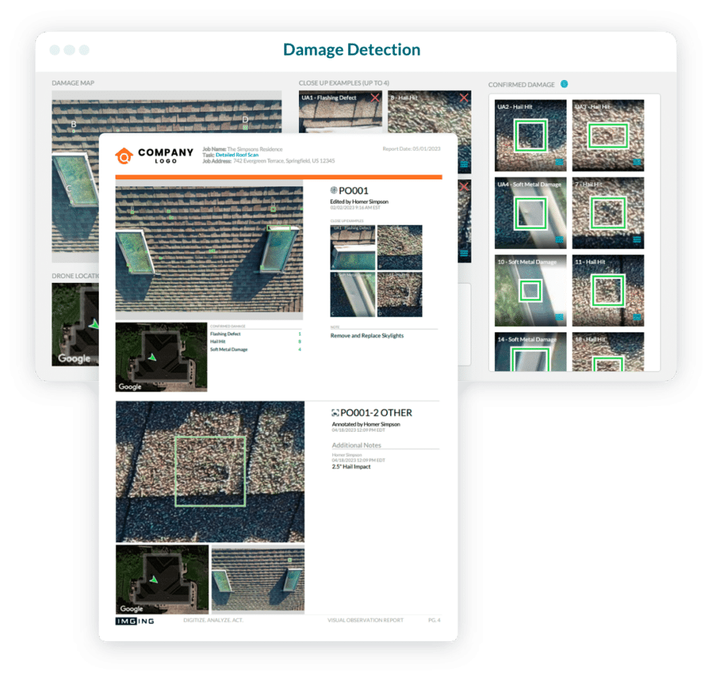
Dynamic Reporting Tools
Create comprehensive inspection and condition reports effortlessly using versatile tools that boost your professionalism and accuracy.
Accurate Roof Measurements
Flight’s automated inspections provide the most accurate roof measurements available anywhere. Measure your roof with a drone powered by IMGING safely from the ground and receive all the measurement features seen here.
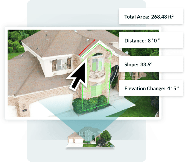
Measure Anything
A digital twin 3D model allows you to measure anything on the property from your computer.
Unlimited Cloud Storage
We store your data so you don’t have to. All your inspection photos, 3D models, reports, are saved in the IMGING cloud for as long as you need them.
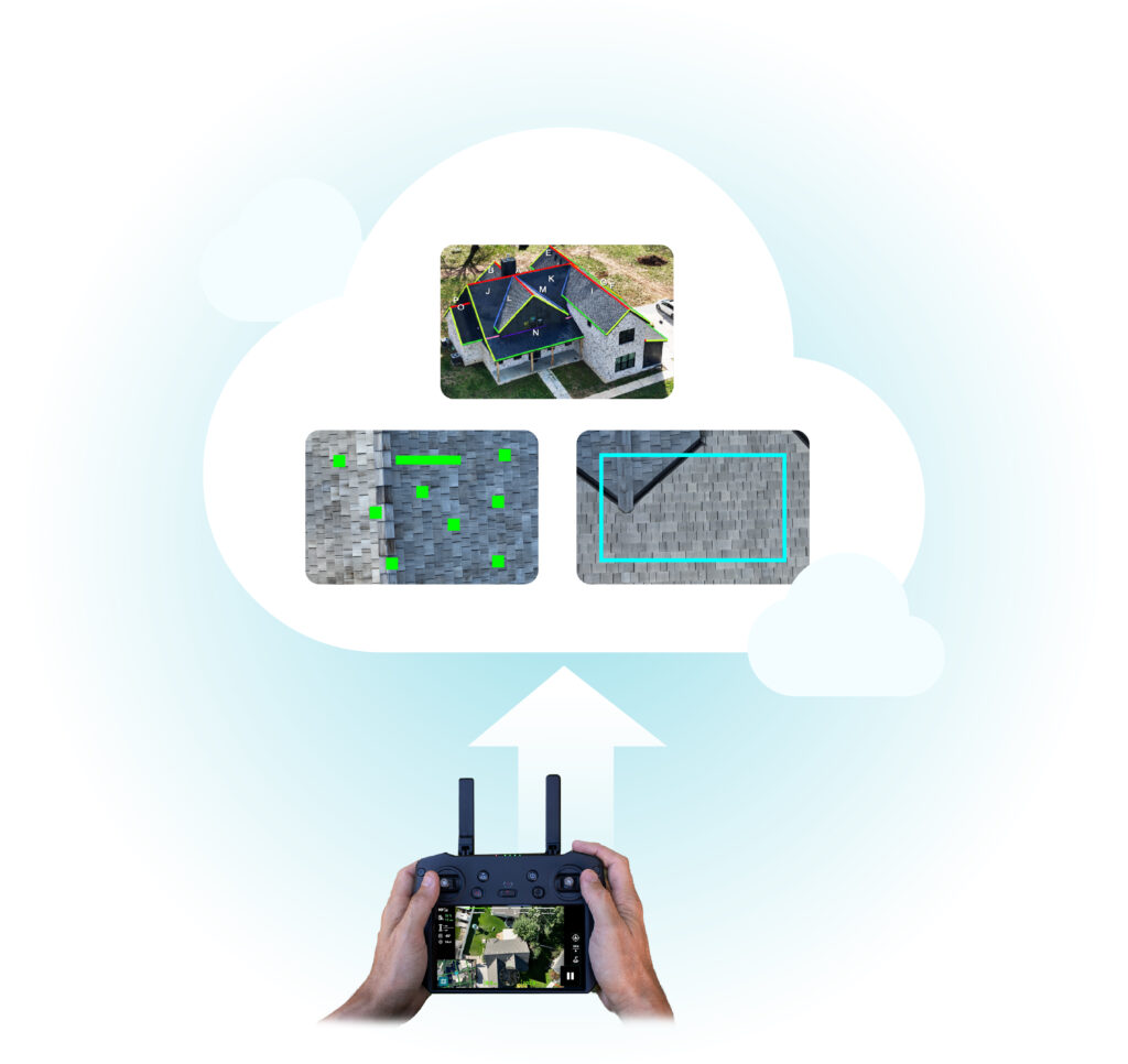
We Work Well With Others
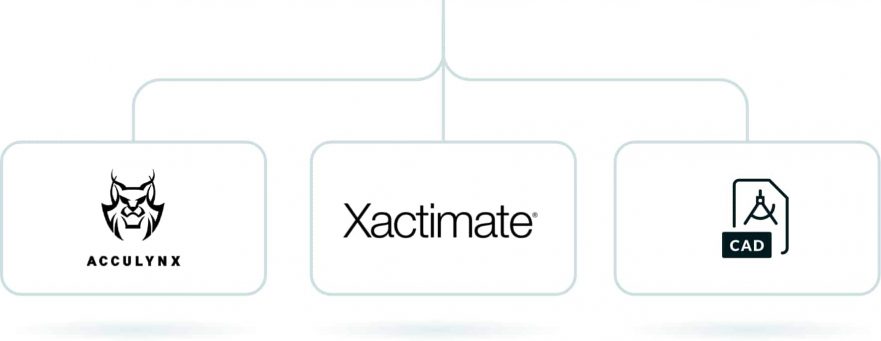
We understand that data-capture, automated drone flight, data-analytics, or AI-powered damage detection are sometimes part of a larger job. We work well with others to simplify your work, including the following integrations and outputs:
The Perfect Tool for Your Industry
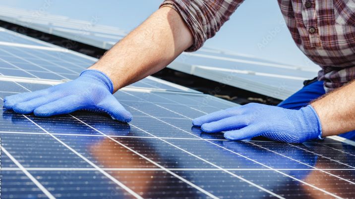
Solar
Prevent Call-Offs with Comprehensive Site Data
Get comprehensive site survey data in one quick visit with automated drone surveys and intuitive mobile image capture. IMGING’s fast and accurate site survey data mean solar pros need never redesign or add a truck roll again.
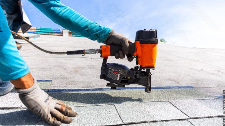
General Construction
The Easiest Way to Inspect and Manage Projects
Property inspections from a drone or mobile device allow for quick and easy documentation or in-depth property assessment for large customers. Wow property-owners with the leading property inspection software powered by -AI.
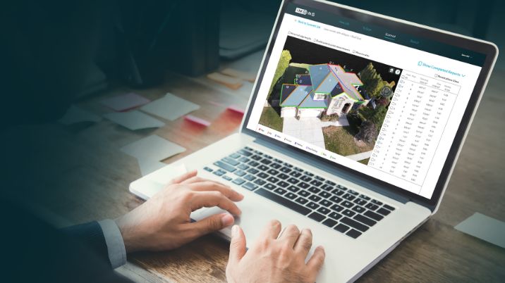
Insurance
Reduce LAE With the IMGING Inspection Platform
The IMGING inspection platform enables you to make quick inspecting and scoping decisions that lead to happy policyholders and lower LAE.
Get Started Hassle Free
Drone roof inspections? AI? New bid process? Sounds tough, but believe us—it’s not. We’ll help you with everything from getting certified to flying your first job.


