A Guide for Introducing a Drone Program That Will Cut Your Creation Costs
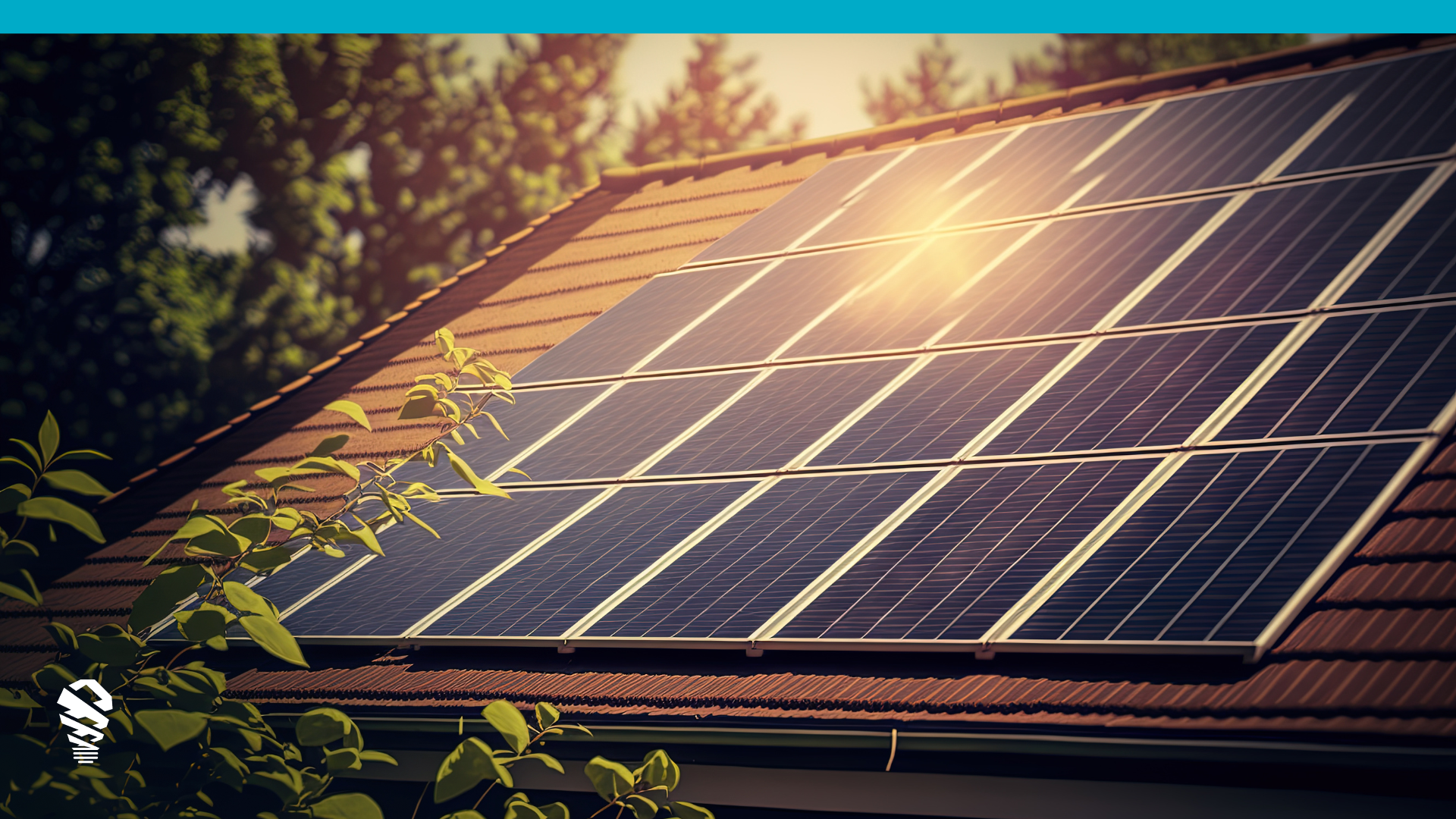
As homeowners and commercial businesses lean into a future fueled by renewable energy, solar professionals are embracing new survey technologies that automated manual processes to keep up with demand, clear backlogs, and ride the wave of momentum.
Last fall, the U.S. installed more than 5.4 gigawatts of solar PV capacity, or enough energy to power 21.8 million American homes, according to the Solar Energy Industries Association (SEIA). Despite monumental gains in recent years, the industry continues to face a number of deployment challenges, including so-called “soft-costs” like design, permitting, financing, and customer acquisition.
More than one in seven U.S. homes will have a rooftop solar PV system by 2030
Solar Energy Industries Association Tweet
Unfortunately, it’s not always guaranteed that a property is a good fit for a solar energy system, or if the projected energy output is achievable. If a home is covered by too much shade or lacks a supportive azimuth angle, for example — a solar company may not be able to close the sale.
For every site assessment that downgrades prior projections and leads to cancelations, solar companies lose steam and miss revenue. That last part is one of the reasons why new technological innovations in the space, such as drone site survey technology, have major appeal to solar companies looking to boost their businesses.
Over the years, solar pros have looked to new technologies to help them slash creation costs and get ahead of the competition. While many larger-scale solar companies once relied on advances like satellite imaging or aerial photography to gauge system placements, these images are often taken high above large areas of land and lack specific detail — making it a hardly practical tool for solar professionals working to assess residential or commercial projects.
Today, opportunity-focused solar professionals are turning to a solution a little closer to home: UAVs (Unmanned Aerial Vehicles), better known as drones. Combined with powerful software systems, drone technology is revolutionizing the solar inspection process by increasing the speed and accuracy of assessments, while lowering costs and protecting professionals from injury.
In fact, with the right drone kit and software solution, site survey times can be reduced by 50% or more. Saving in soft costs go straight to a company’s bottom line.
Site surveys are a necessary cost for solar installers with the average solar site survey taking anywhere from 60-90 minutes per visit. Time is money, but how much money in this case? Including management costs, turnover, employment taxes, fuel, every traditional site survey is costing installers between $300 – $500. Cutting this cost is the #1 reason installers build automated drone survey programs, as even manual drone programs leave savings on the table and lower profitability.
Selecting a Drone and Software
It’s important to understand that drones used in solar site surveys aren’t the same toy UAVs popular among kids during the holidays.
While more sophisticated drones can be found in some big box stores, solar professionals should aim to purchase a drone that can simultaneously produce precision flight patterns and hi-res imagery — and more importantly, is also compatible with the software programs that automated fast data capture on the front end and CAD files on the back end. Without automation, drones are nice, but you are still leaving money on the table.
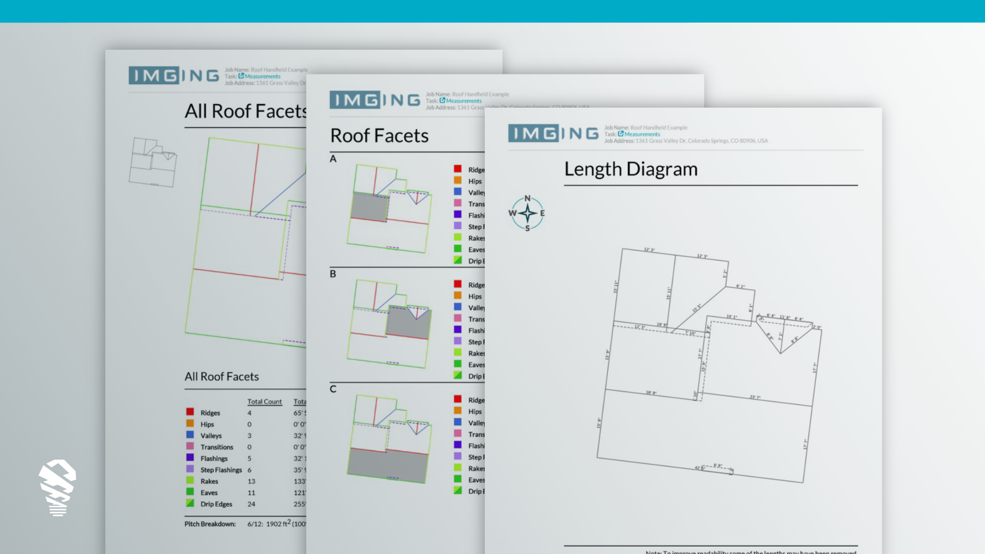
This software should demonstrate site-wide data capture, and should include features such as shading analysis, property, facet and penetration measurements, horizon reports, and CAD-ready models. An automated drone platform like IMGING. Automated aspects include drone flight, horizon scans, data uploads to the cloud, measurements, penetrations, and CAD models. It also includes manual smartphone data capture for attics and electrical panels.
This video compares manual CAD creations versus automated CAD drawings for the design process. CAD models are created automatically after an IMGING solar scan.
If that all sounds a bit intimidating, don’t fret. An experienced solar software partner like Loveland Innovations can provide complete drone hardware kits and best-in-class software for site surveys, saving you the headache of building a drone program piecemeal.
Below, we explain a few best practices your company can take to develop or elevate a solar survey drone program.
Getting your FAA Part 107 Commercial Drone Pilot License
To begin flying a drone for your solar business, it’s important to obtain a Remote Pilot Certificate from the Federal Aviation Administration. This certificate, under the FAA’s Small UAS Rule (Part 107), demonstrates that you understand the rules and regulations for safely flying a drone.
To be eligible for a pilot certificate, a person must:
- Be at least 16 years old
- Be able to read, speak, write, and understand English
- Be in good physical and mental condition
- Pass the initial aeronautical knowledge exam
The first steps to becoming a drone pilot is to get an FAA Tracking Number (FTN) and to register for the remote pilot knowledge test, commonly known as the Part 107 exam. Following that, you’ll need to:
- Schedule an appointment with an FAA-approved Knowledge Testing Center
- Pass the Part 107 test
- Complete FAA Form 8710-13 for a remote pilot certificate
- Complete a TSA security background check
It may seem like a lot of steps, but the entire certification process generally takes around a month for most working professionals to navigate through.
Team training and Operational Support
What to know while flying
Flying a drone is we want to make the switch to drone inspections as seamless as possible. Here are a few tips to help you fly:
Understand protected airspace authorizations
You may have heard about the concerns about drones interfering with airspace. Since 2017, the FAA has made it easier to provide near real-time authorizations for people flying drones below 400 feet.
This is done through LAANC, or the Low Altitude Authorization and Notification Capability, a collaboration between the FAA and private industries. The agreement essentially streamlines the approval process for airspace authorizations via a mobile app. Our IMGING includes access to partners that can request LAANC waivers to our customers. All it takes is filling out a 5-minute application in the IMGING app to receive authorization and quickly get back to flying.
Prepare for hot weather — or cold
Mobile devices, such as a smartphone or iPad, are essentially equipment — and that means that extreme temperatures can affect their functionality. Since our IMGING software runs on iOS, it’s important to take weather into strong consideration.
For example, if you’re flying at high noon in temperatures of 90° F or more, your mobile device may start shutting down or overheat. Similarly, frigid temperatures can sap the juice out of your battery and render it useless.
On the most extreme temperature days, plan your flights earlier or later in the day as appropriate. Accessories such as a sunshade to prevent your device from overheating or a thermal case to prevent it from shutting down in the cold can help you avoid any temp-related disruptions.
Know Your Hardware
Hardware calibration can take mere seconds, yet it is often neglected until required. The IMGING app will notify you when needed, but frequent calibration will keep your equipment working accurately and avoid any unexpected hiccups when you may be in a rush later. Here is a list of items to keep calibrate:
- Calibrate your drone weekly.
- Calibrate your drone after traveling significant distances (hundreds of miles).
- Calibrate your drone after it has been on an airplane.
- Format your SD card.
In addition, a software like IMGING can track hours flown per drone for easy hardware assessment. Building an automated drone survey program at your company may feel intimidating at first. After all, there is hardware, software, licensing, and training involved. But the payoff for a successful drone survey program is tremendous, with a fast ROI that will pay for for itself long after the program is launched. As Confucius once said, ‘the man who moves a mountain begins by carrying small stones.’ It’s time to get started. Learn more at lovelandinnovations.com/solar.

