

Accuracy Beyond Comparison
Fly a roof in minutes, auto-generate a 3D model, view shading, measure facets and penetrations, and export models into any CAD program. Your proposals just got verified and designs got a whole lot easier.
Our Partners





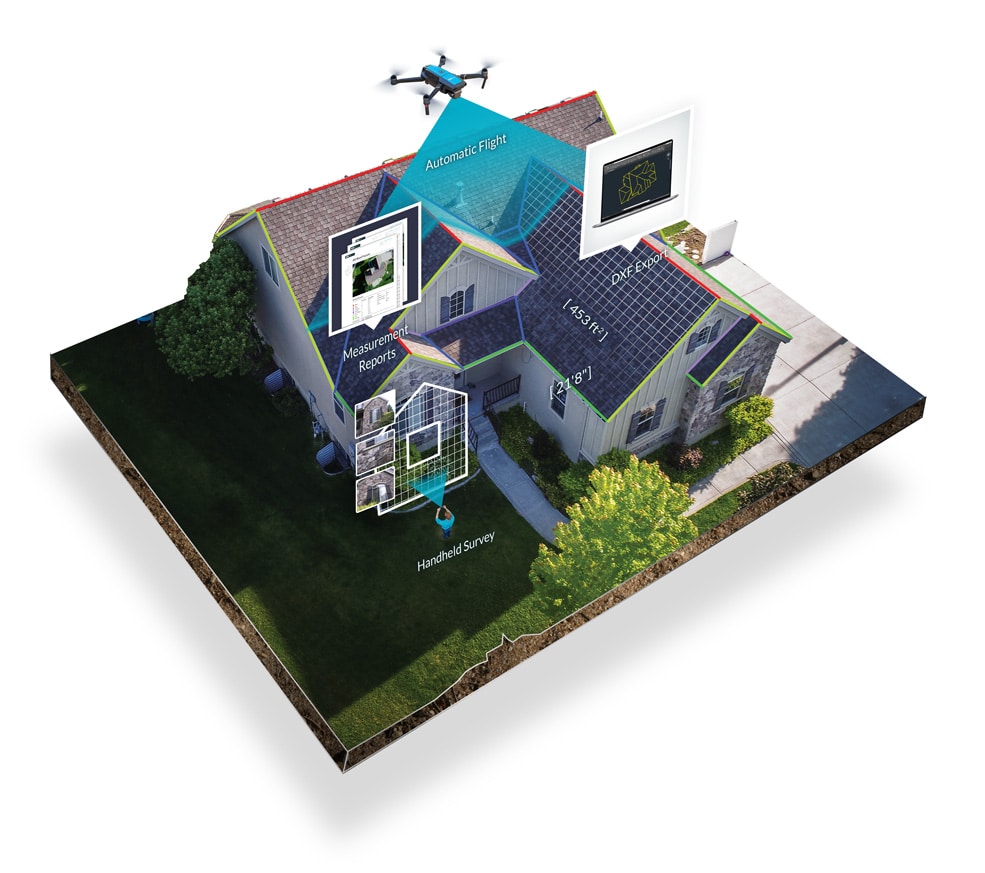
Automated Site Surveys in as Little as 8 Minutes
With IMGING, solar pros need never redesign or add a truck roll again. Precise measurements – more accurate from a satellite or plane – provide real-time data on every aspect of the roof. When they’re done, system designers have half their work already finished.
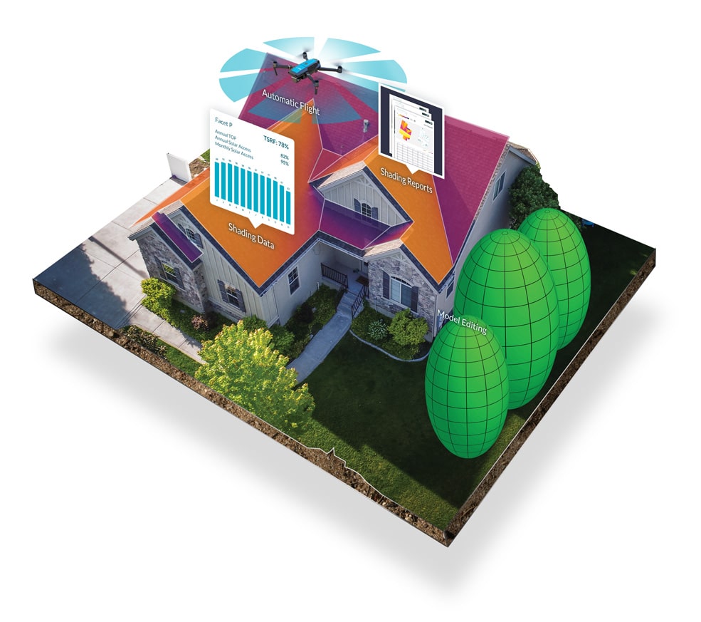
Near Real-Time Data For Ultra-Accurate Shading Analysis
IMGING gives you the most recent shading data available anywhere, all from the same automated drone flight used for your site survey. IMGING’s shading tool includes the industry standard solar access, TOF, and TSRF numbers, validated by DNV, and shading model editing.
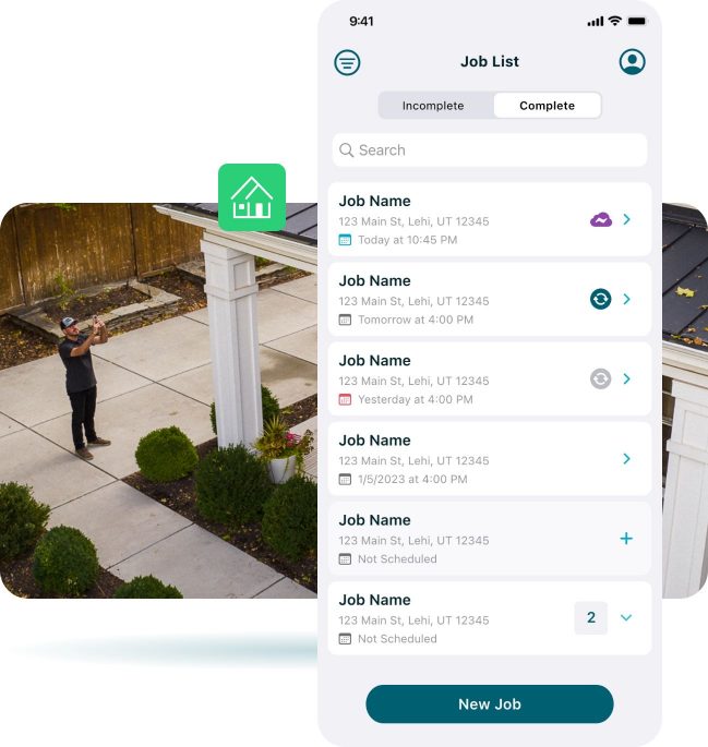
Effortless Mobile Inspections
After a short, automated drone flight, record rafter spacing, electrical panels, and other ground-based inspection photos in IMGING Inspect for a seamless site-assessment process.
Smart Photo Location
IMGING’s smart photo location allows you to view the exact coordinates where each photo was taken. No more guesswork or manual record-keeping. Your designers can explore a map-based interface that brings each site survey photo to life, offering a new level of clarity and accuracy in your solar design and engineering.

Cut Site Survey Times by 50%

Cut CAD Times by 50%
Cut Redesigns
To Basically Zero

Shading Data Validated by DNV

“We’ve well over doubled our number of site surveys with the same people.”
Experience The Outputs
IMGING gives you precise data, detailed 3D models, and helps you shave hours off the modeling and designing process.

+

Elevate and Refine Your Solar Design Workflow
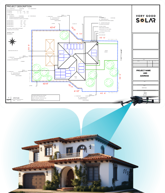
Pair IMGING site surveys with EnergyScape Renewables – a leading design and engineering firm – for a turnkey survey and design solution. Automated drone site surveys transform seamlessly into stamped plan sets for your projects with EnergyScape.
Request More Information
We’ll help you with everything from getting certified to completing your first survey and shade analysis.

